A map you grow by going outside

Go explore.
Watch it grow.

Strell starts your world in a soft green mist. Walk, run or ride, and the streets you travel grow in behind you, one place at a time, until whole neighborhoods are in bloom.

For iPhone. No account needed.

Strell's map of Old Town: fern-green mist covers the streets, a route has grown in through it, and the plant marker sits at the end. The top card reads Old Town, 38% grown in. Lincoln Park 9:41 Old Town +124 new 38% grown in End outing · 24 min

How it works

A field guide to growing your map

Five things to know. The rest you'll find out there.

Plate IAn illustrated explorer with a backpack setting off along a quiet street.

Head out

Tap Head out and go: on foot, on a run, on a bike, even in the car. That's an outing.

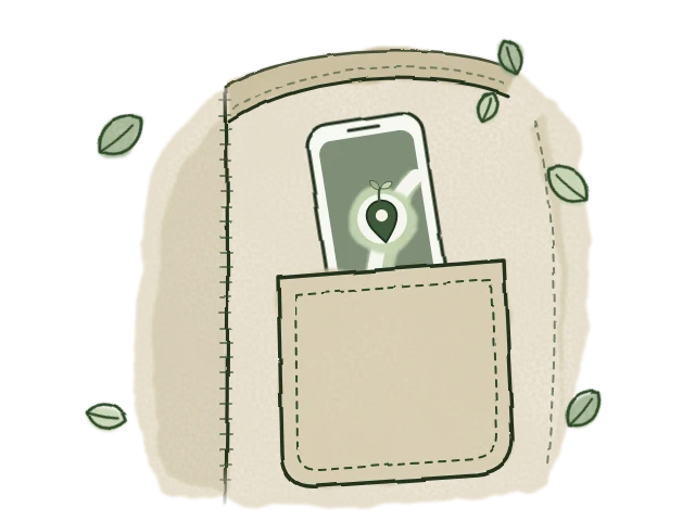
Lock your phone and put it away. While an outing you started is on, Strell keeps following you in your pocket. End it when you're home, and the recap shows the time, distance and places that grew.
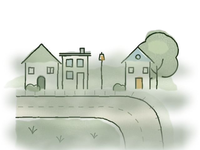
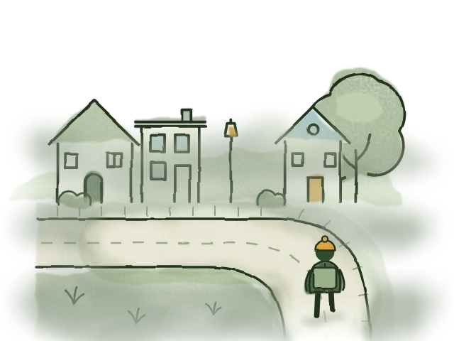
Plate IIA street corner half hidden in soft green mist.

The mist lifts

Everywhere you haven't been sits under fern-green mist. Pass by and it lifts, street by street, in soft watercolor edges.

Turn on Survey view to see the hexagon grid underneath and how much of each area has grown in.

Plate IIIThe same street corner, now clear, with houses, a lamp post and a tree.

Neighborhoods bloom

The top card tracks the place you're in: Old Town, 38% grown in. Milestones mark the way, from Taking root at 25% to In full bloom.

Strell 1.0 knows the neighborhoods of Chicago, New York City and Los Angeles by name. The mist lifts wherever you go.

Plate IV
  • WildPass near a street and it fills in
    ≈ 460 m
  • TendedThe normal game
    ≈ 230 m
  • RootedOnly the streets you actually travel
    ≈ 115 m

Pick your level

Wild is relaxed, Tended is the normal game, and Rooted asks you to walk every street.

Every outing is scored at all three at once, so switching levels never loses anything. Rooted has milestones of its own, up to Every street.

Plate V

Your plant grows with you

Your marker on the map is a plant. It starts each morning as a sprout and grows with the new ground you uncover that day, into a seedling, a sapling, and then a flower.

It counts new map, not miles, so a stroll down fresh streets beats laps of the block. At midnight it's a sprout again.

Celebrate places, not points.

Strell rewards new ground, however you get around. Going back over streets you've already grown in earns nothing, and the count is the same everywhere in the world, with no miles or kilometres to convert.

Walk or run Ride Drive

In your pocket

Everything else you'd want on an outing

Field guide

Your outings, the places you've grown in and the milestones you've earned, all in one book.

Import past routes

Bring in GPX files or your Google Timeline. They're read on your phone and never uploaded.

Offline areas

Save the map around you before you head somewhere without signal.

Export my map

Your whole map, outings and stats as one GeoJSON file, made on your phone. Where it goes is up to you.

Privacy

Your map stays on your phone

You don't need an account to use Strell. Here is what stays with you, and everything that leaves your phone, in plain words.

Stays on your phone

Everything you make in Strell is stored only on your phone.

  • Your map: every cell you've grown in
  • Your outings, up to your last 1,000
  • Your stats, streaks and milestones
  • Imported routes: GPX and Google Timeline files are read on your phone, not uploaded
  • Neighborhood names, from maps kept on your phone

What leaves it, and why

Seven things, each with a reason. The privacy policy has the details.

  1. Map-cell lookups, to show water.Strell asks our server about the map cells around you. No name, account or device ID is sent, but the cells do show where you are to within about 100 m.
  2. Water reads, for areas not yet on your phone.Only the edges of a box a few degrees across, centred on the nearest half degree rather than on you.
  3. Neighborhood maps, for where you are.Strell downloads the neighborhood map for the large hexagon you're in, about 100 km across. The request names only that hexagon.
  4. Map tiles, from Mapbox.Mapbox draws the map, so it sees which part of the map you're viewing. We have turned off Mapbox's telemetry.
  5. Crash reports, to Sentry.With the locations, map cells, account IDs and invite codes Strell finds in them taken out. No name or account is attached.
  6. Reports you choose to send.If you use "Report a problem", that report is sent to us with its location, a random ID and your note.
  7. Strellows, only if you sign in.Strellows is optional, with Sign in with Apple. People you add see a card of how your places are growing, an hour later and dated by day. Never your map, your routes or where you are. You can hide any place, pause sharing, or delete your account in the app.
  • No ads
  • No analytics tools
  • We don't sell your data
  • No tracking across other apps and websites
  • No chat, no search for people
  • No advertising identifier

Head out.

The mist is waiting just past your front door. Watch your neighborhood grow in.